Fort William Wayfinding System Launches
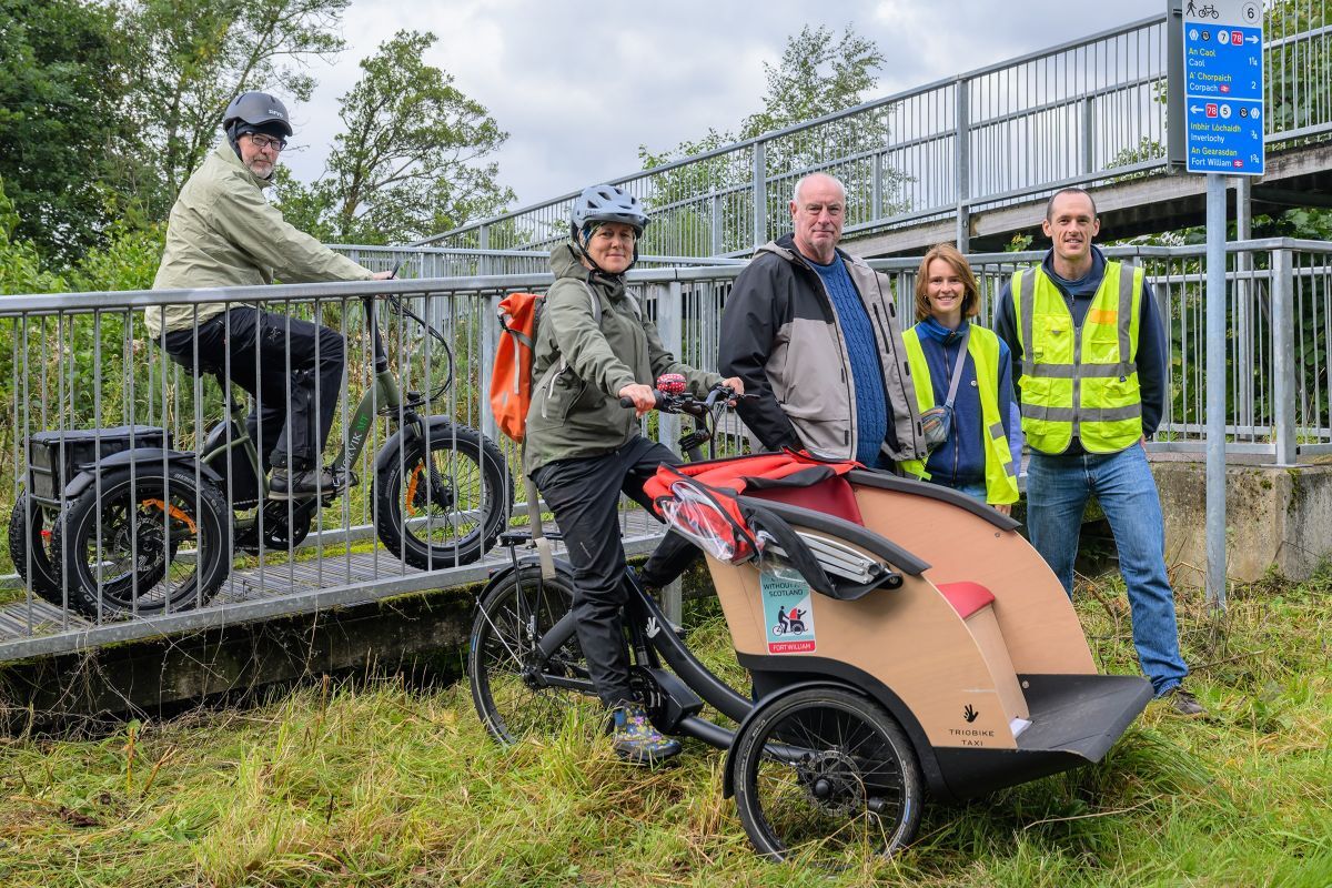
A pilot wayfinding system officially launched on Friday 4th September in Fort William, making it easier for locals and visitors to walk and cycle around the town.
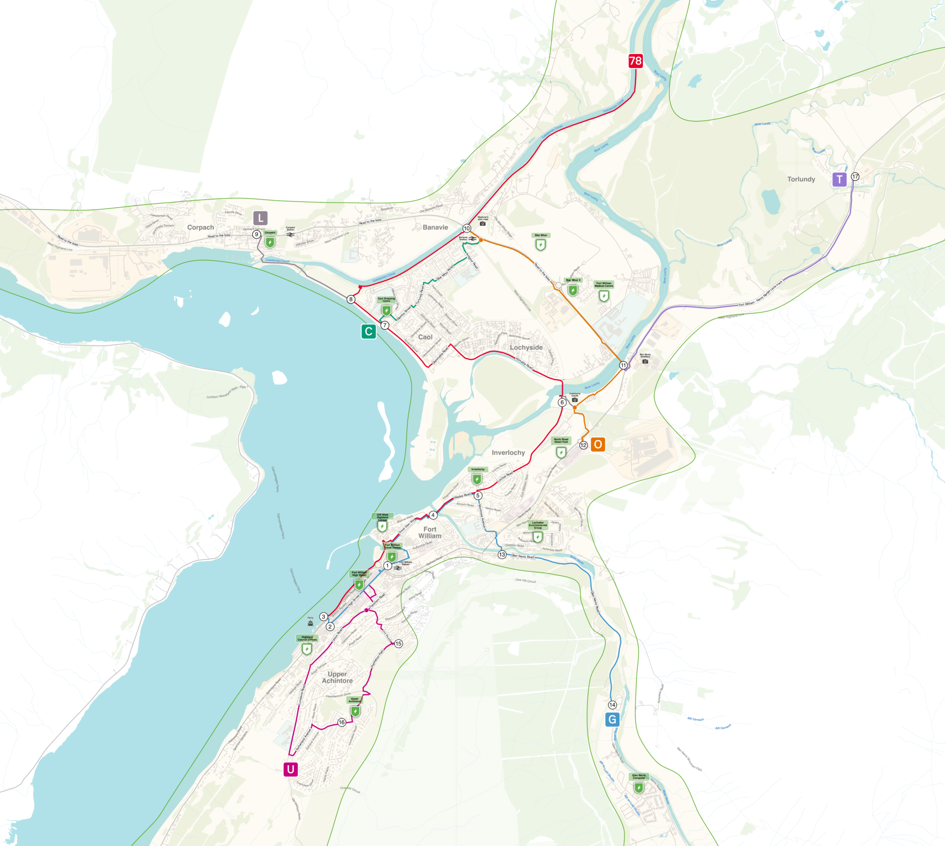
Seven colour-coded routes link residential areas with key services such as schools, shops and visitor attractions, guiding users on the safest routes across a 20-mile network. Pedestrians and cyclists can follow colour-coded signs at numbered intersections along the route. The journey planner reflects the network online, allowing users to plan their route with ease and give feedback to help improve the network.
The online journey planner can be found here, and the full map of the routes here.
“The Wayfinding project will be a great help in supporting people to make the transition to cycling by offering more cycle-friendly route options and a journey planning tool,” said Emma Walters, Active Travel Development Officer at Lochaber Environmental Group’s Fort William Bike Shed. The Bike Shed project helps people overcome barriers to cycling, through free bike loans funded through HITRANS’ People & Place Programme. “It will be useful to our bike library users, many of whom are visitors to the area or who are not used to cycling locally. It’s great to have multiple partners onboard in the mission to get people off the busy roads and on to their bikes!”. More information about the Fort William Bike Shed can be found here.
Since the launch on Friday, 70 people have connected with the Journey Planner and 12 have downloaded the map. This innovative pilot project marks the end of a year-long project, delivered by Marked Wayfinding through funding from HITRANS via Transport Scotland’s People & Place Programme. The project is part of the wider Fort William 2040 work to regenerate Fort William into a thriving, sustainable, and well-connected Highland town. This project delivers on the priority recommendations from the 2019 Active Travel Masterplan for Fort William, which was commissioned by HITRANS, and highlighted the importance of making existing active travel routes more visible and easier to navigate.
The pilot will now enter a period of evaluation, as Marked Wayfinding continue to gather data and feedback on the system. Once HITRANS and Marked Wayfinding have reviewed the project and taken feedback from people using it, HITRANS can think about other towns across the region which would benefit from improved wayfinding.